File: India satellite image.png
From Bharatpedia

Size of this preview: 800 × 592 pixels. Other resolutions: 320 × 237 pixels | 640 × 474 pixels | 1,024 × 758 pixels | 1,278 × 946 pixels.
Original file (1,278 × 946 pixels, file size: 1.51 MB, MIME type: image/png)
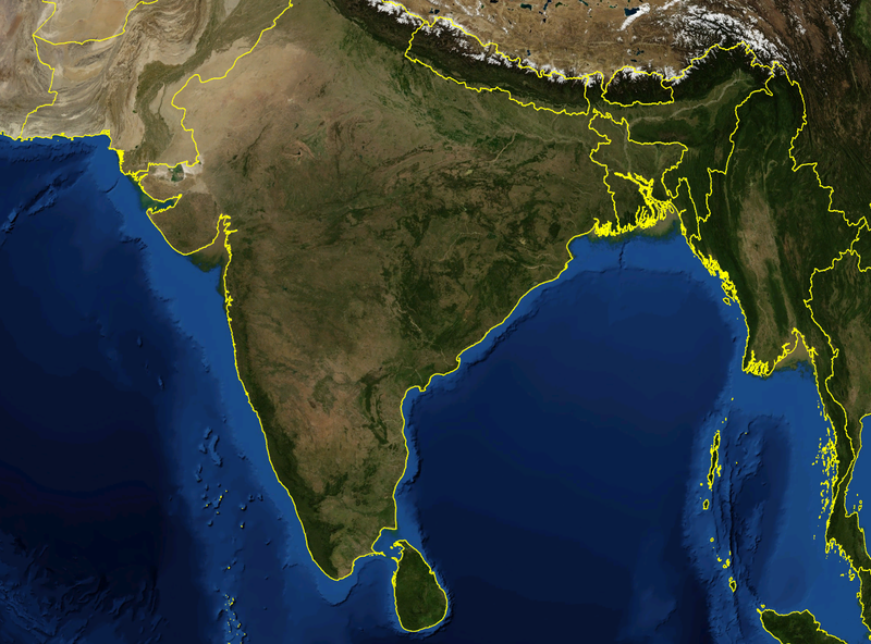
| Description | Satellite image of India and surrounding regions | |||
| Date | ||||
| Source | Own work | |||
| Author | Mgiganteus | |||
| Permission (Reusing this file) |
|

| Annotations | This image is annotated: View the annotations at Commons |
File history
Click on a date/time to view the file as it appeared at that time.
| Date/Time | Thumbnail | Dimensions | User | Comment | |
|---|---|---|---|---|---|
| current | 22:21, 28 November 2007 | | 1,278 × 946 (1.51 MB) | wikimediacommons>Mgiganteus | {{Information |Description=Satellite image of India and surrounding regions |Source=self-made |Date=2007 |Author= Mgiganteus |Permission={{PD-WorldWind}} |other_versions= }} Category:Maps of India Category:South Asia [[Categor |
File usage
The following 35 pages use this file:
- 1707 in India
- 1761 in India
- 1806 in India
- 1838 in India
- 1839 in India
- 1840 in India
- 1849 in India
- 1851 in India
- 1853 in India
- 1854 in India
- 1855 in India
- 1857 in India
- 1861 in India
- 1865 in India
- 1866 in India
- 1867 in India
- 1911 in India
- 1912 in India
- 1920 in India
- 1921 in India
- 1922 in India
- 1923 in India
- 1924 in India
- 1925 in India
- 1929 in India
- 1931 in India
- 1934 in India
- 1939 in India
- 1940 in India
- 1941 in India
- 1942 in India
- 1943 in India
- 1944 in India
- 1945 in India
- 1946 in India